
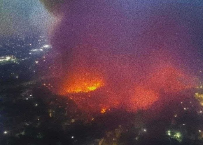
A fast-growing desert wildfire in Northern California has quietly become the state’s biggest blaze of 2026, while officials struggle to keep up and ordinary families watch highways close and evacuation maps expand.
Story Snapshot
- The Biscar Fire near Susanville has burned about 29,752 acres, making it California’s largest wildfire so far this year.
- The fire is only 5% contained, and it has forced evacuation orders over hundreds of square miles in Lassen County.
- U.S. Highway 395 is closed where the fire crossed the road, leaving a rural region with only one major route open.
- Confusing, shifting size reports show how slowly official data and real-time maps reach the public during fast disasters.
How the Biscar Fire Became California’s Biggest Blaze of 2026
The Biscar Fire started early Friday near Snowstorm Road and Vincent Canyon, in the high desert northeast of Susanville in Lassen County. It began as a brush fire in remote ranch country, but strong winds and very dry fuel helped it spread fast across public lands and historic ranches. By Sunday evening, California’s fire agency reported the blaze had grown to 29,752 acres, or about 46 square miles, with only 5% containment. That size pushed Biscar past the Santa Rosa Island Fire from May, which had been the largest California wildfire of 2026 at 18,379 acres.
State and local officials say the fire is burning under “active suppression efforts,” with firefighters attacking the flames on the ground and from the air. The blaze has crossed U.S. Highway 395, forcing long closures from Smoke Creek Road to key junctions north of Susanville. Drivers now have only State Route 139 as a main highway option in the area, and even that route is crowded and smoky. Cal Fire and local law enforcement have issued evacuation orders for areas shown in red on fire maps, along with wider evacuation warnings in nearby communities marked in yellow.
Evacuations, Closures, and Strain on Rural Communities
Residents in ranches and small communities near Karlo and along Highway 395 were told to leave as the fire pushed across the desert and into grazing land. News reports describe “oppressive” smoke and rapidly changing evacuation zones, with people urged to keep go-bags ready in case warnings turn into orders. Authorities closed a long stretch of Highway 395, cutting off a vital route for workers, truckers, and families in this sparsely populated part of Northern California. For people who already feel forgotten by elected leaders, seeing their main highway shut while official updates lag only deepens the sense that rural America is on its own.
Fire crews are trying to protect threatened communities while also defending isolated ranches and barns scattered across the desert. Aerial resources are limited because many fires are burning across the West, which forces agencies to make hard choices about where planes and helicopters go first. In this case, a fire that began in open public land is now big enough to threaten homes and heritage properties, yet it still competes for attention with blazes closer to big cities. That trade-off feeds a familiar worry on both the left and the right: that faraway bureaucracies and “deep state” planners make life-or-death decisions for local people they will never meet.
Confusing Numbers and Slow, Fragmented Information
As Biscar raced across the desert, different fire trackers reported very different sizes and containment numbers, adding confusion for residents trying to plan. One public lands wildfire tracker listed the blaze at 12,338 acres and 5% containment, even as Cal Fire was preparing its 29,752-acre update. Another national fire list showed Biscar at only 2,900 acres with no containment, based on earlier data. Local news stories walked through a sequence of figures — 3,116 acres, then 4,200 acres, then 12,338 acres — before settling on “nearly 30,000 acres” as official reports caught up.
This mismatch is not a conspiracy, but it does show a system that feels broken to many people. Fire size estimates shift as crews get better maps and satellite data, yet there is no simple, trusted place where ordinary citizens can see one agreed-upon number in real time. Instead, they must juggle state dashboards, national trackers, private mapping sites, and social media posts. In a season when insurance companies are pulling out of fire-prone areas and families question whether leaders can protect them, this kind of data chaos looks like more proof that the system is not built for the people it claims to serve.
Broader Concerns About Fire Season, Climate, and Governance
Experts say California entered 2026 with a quiet fire season, but a warm, dry winter left Northern and Southern California primed for bigger burns later in the year. The Biscar Fire fits that pattern: a remote desert blaze that suddenly becomes a statewide headline and the largest fire of the year after just a few days. While firefighters risk their lives to hold the line, many citizens see the bigger picture as a failure of long-term planning. They point to years of underfunded forest work, tangled regulations, and slow infrastructure upgrades that leave highways and power lines vulnerable.
Biscar Fire closes US Highway 395 northeast of Susanville, California https://t.co/ps4CDfWCnx
— RGJ.com (@rgj) July 20, 2026
For conservatives frustrated with high energy costs, border chaos, and what they see as elite mismanagement, a 30,000-acre fire in ranch country feels like one more example of leaders ignoring rural America until there is a crisis. For liberals worried about climate change, inequality, and the safety of minority communities, it looks like proof that those in power still have not taken extreme weather and fire risk seriously enough. Both sides may disagree on causes and solutions, but they share a sense that big institutions talk a lot and deliver little. As the Biscar Fire burns and families wait for clear answers, that shared mistrust only grows stronger.
Sources:
nypost.com, fire.ca.gov, mercurynews.com, nifc.gov, 2news.com, youtube.com, fresnobee.com