

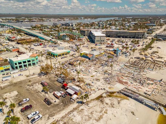
A powerful 7.7-magnitude earthquake tore through the sea off Indonesia’s Flores Island early Saturday, killing at least two people and sending tsunami waves toward coastal towns.
Story Snapshot
- A 7.7-magnitude earthquake struck off Flores Island, Indonesia, before dawn on August 15, 2026.
- The U.S. Geological Survey (USGS) placed the epicenter 68 kilometers northwest of Ende at a shallow depth of 15 kilometers.
- Indonesia’s Meteorology, Climatology, and Geophysics Agency (BMKG) issued tsunami warnings for several coastal regions.
- At least two people died, and tsunami waves under one meter reached some shorelines before the warning was lifted.
Quake Strikes Off Flores Island Before Dawn
The earthquake hit early Saturday off the north coast of Flores Island in eastern Indonesia. The USGS measured its depth at just 15 kilometers, a shallow rupture that tends to shake the ground harder and raises the odds of a tsunami. The agency said the epicenter sat 68 kilometers northwest of the town of Ende.
The USGS assessed that some casualties and damage were possible, and it expected the impact to stay fairly localized rather than spread across the whole country. Local reports confirmed at least two deaths tied to the quake, along with hundreds of residents fleeing toward higher ground as the shaking spread through Flores and nearby islands.
Tsunami Warnings Cover Multiple Coastlines
BMKG issued tsunami warnings for Maluku, East Nusa Tenggara, West Nusa Tenggara, and parts of Southeast and South Sulawesi soon after the quake struck. The U.S.-based Pacific Tsunami Warning Center said that based on early earthquake data, hazardous waves were possible for parts of the region. Authorities urged residents near beaches to move away from the coast immediately.
Waves under one meter, or about three feet, were recorded in several spots along the Indonesian coast in the hours that followed. The warning stayed active for roughly two to three hours before officials called it off once sea levels returned to normal, a pattern consistent with how BMKG has handled past major quakes in the region.
Why Warnings Come Fast but Not Always Certain
BMKG’s system is built to send out a first alert within about five minutes of a major earthquake, using seismic readings and coastal sea-level gauges rather than waiting for full confirmation from deep-ocean sensors. That speed comes with a tradeoff. Research on tsunami warning systems shows that acting fast on incomplete data raises the risk of false alarms, while waiting for certainty can cost precious evacuation time.
Indonesia has faced this exact tension before. During the 2018 Palu-Donggala disaster, BMKG lifted its tsunami warning early, and a wave arrived shortly after, killing thousands. That event pushed the agency to expand its sensor network, with plans to reach 533 seismograph stations by 2024 to improve speed and accuracy. Saturday’s response followed the same fast-alert, then-confirm approach that has defined Indonesia’s system for years.
A Region Built on Fault Lines
Indonesia sits on the Pacific “Ring of Fire,” a zone where shifting tectonic plates make major earthquakes and tsunamis a recurring threat. The country logs thousands of quakes every year, but few reach the scale of Saturday’s 7.7-magnitude event. Communities across Flores, Sulawesi, and neighboring islands have grown used to sudden alerts and evacuation orders, a reality that shapes daily life for millions living along Indonesia’s coastlines.
A strong 7.7-magnitude earthquake struck off Flores island in eastern Indonesia early Saturday, sending thousands running in panic after authorities issued a tsunami warning.
Residents in Nagekeo regency, the area closest to the epicentre, raced for higher ground as the sea retre— Tien Nguyen (@bnguyen11) August 15, 2026
Emergency crews continue assessing damage across the affected islands as aftershocks ripple through the region. Officials have not released a full count of injuries or structural damage, but the confirmed deaths and evacuation of hundreds mark this as one of the more serious seismic events to hit eastern Indonesia this year.
Sources:
rri.co.id, abs-cbn.com, inatews.bmkg.go.id, nypost.com, yahoo.com, nctr.pmel.noaa.gov, nbcnews.com